


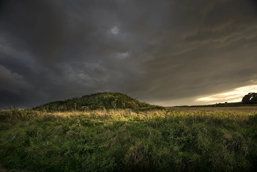

I called here on my way to my parents near Swindon and hadn’t been here for more than 20 years prior to this. It’s very easy to locate owing to the Lansdowne Monument, a 38m stone obelisk on Cherhill Down visible from both the A4 and the A361. Because of its proximity to Avebury, Silbury Hill, West Kennet Long Barrow, et al., the area is littered with sites from the Neolithic to the Iron Age and also includes more recent works like the white horse cut in 1780. I parked at the run off East of the hill fort in what must have been the Old Bath Road before it was metalled and straightened somewhat and made my way past the gallops and up towards the top of the Down. The path isn’t very obvious from this direction, but you do get to see a lot of earthworks which may, or may not, be connected with the hill fort. Some may be hut circles or animal pens, others might be dew ponds or slightly unambitious chalk quarries. Reaching the South East corner (it’s not round!) of the hill fort you get great views of the surrounding hills to the South and West including the linear Bronze Age barrow groups on Morgans Hill and also an impression of the scale of the mighty banks and ditches of the fort itself. Early evening is almost always the best time to visit these kind of sites, particularly if you have low raking sunlight. It brings out the best definition and colour in the landscape and makes it almost heartbreakingly beautiful and, for me, tinged with nostalgia. Moving around the earthworks in a clockwise direction you come past the Lansdowne Monument and get a good view of the long barrow, the oldest element in the vicinity, standing on a slight promontory just below it. By this time it’s becoming clear that the Western horizon is filling with rain clouds and so I head North East again taking in the white horse and then exit via the hill fort’s Eastern opening descending back towards the A4. As you get to the bottom of this track you’ll notice a fine barrow in the corner of a field (Cherhill 4 - not very romantic is it?) and if you turn right you’re back on the Old Bath Road track which is where the parking place is. By now the weather was going into overdrive and though the torrential downpour I’d been anticipating hadn’t yet materialised, the sky was now leaden and a fantastic rainbow appeared at the end of the track urging me onwards. Before you get to the parking spot there’s another large barrow right beside the track which, although I didn’t notice at the time, has a World War Two bunker built into the North side of it. This makes strategic sense in terms of the now disused Yatesbury airfield just the other side of the A4. I reach my car just in the nick of time as the raindrops descend. What luck! What weather! What poetry!